Mapping of Water Bodies Using Sonar Technology
– Methodology Overview
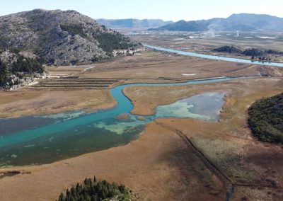
Side-scan and multi-beam sonars have been in use for many years, but their application for civilian purposes is still significantly limited. Side-scan devices are used to capture cross-sectional images of water bodies at a 180° angle to depths of up to 60 meters (covering the entire profile of a riverbed), while multi-beam devices are employed for in-depth imaging of the seafloor or lakebed at 360° angles, reaching depths of up to 300 meters.

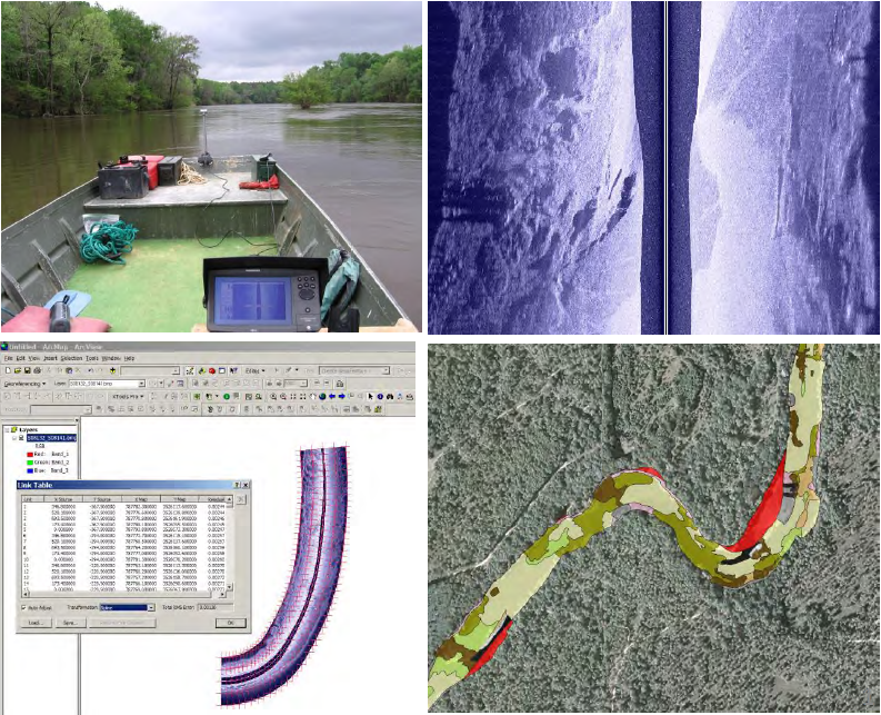
BIOTA, in collaboration with the Croatian Institute for Biodiversity, has fine-tuned sonar equipment for scanning aquatic environments such as rivers, lakes, and seas, and integrating the data into GIS systems. The equipment is affixed to a 5-meter aluminum boat powered by an outboard motor (referenced as Figure 1.a). For seas and lakes, the boat follows a pre-set grid, while for rivers, it moves along a straight path. The scanning employs various sonar imaging techniques to map the depth of the water body, the contour of the bottom, and any structures exceeding 30-40 cm. It can also assess the material’s hardness, which is useful for habitat mapping, and detect biological entities, like fish or schools of fish, that are larger than 30-40 cm.
The recorded data is transferred into a GIS system (ESRi ArcGIS Desktop 10.3) and interpreted to generate:
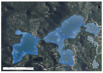
- A bathymetric map of the water body with precise contours (resolution depends on input data, i.e., the density of the scanning grid) down to 0.5 meters.
- A habitat map based on bottom type (rock, gravel, silt, vegetation) and present structures (e.g., columns, trees, etc.).
- A map of biologically important habitats (e.g., wintering grounds, feeding areas, spawning grounds).
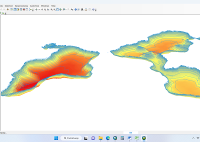
- A 3D model of the water body and calculations of sedimentation or accumulation (silt, deposits, etc.).
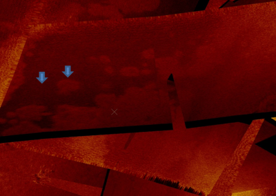
- Original sonar images for detailed interpretation.
Underwater construction
Sonar technology enables precise mapping of underwater areas, supporting safe and efficient planning for construction projects like bridges, dams, and other infrastructure.
Habitat mapping
By identifying the types of substrates and structures present, sonar helps create detailed habitat maps for environmental assessments and conservation planning. elements that set you apart from the competition.
Sediment Calculation
Sonar data allows accurate calculation of sediment accumulation in water bodies, helping in the management of dredging, erosion, and deposition processes.
Search for Specific Objects
Sonar can locate underwater objects such as columns, stumps, ruins, and other structures, aiding in archaeological studies, construction, or debris removal. It can also detect overwintering and feeding grounds of fish.
